
New York City has more than 500 miles of coastline, home to around 1 million people and billions of dollars of real estate. And as anyone who's ever tried to find a decent bathroom in this town knows, no two miles of waterfront are quite the same. The marshy bits of southern Queens, the housing projects of waterfront Brooklyn, and the gleaming towers of Manhattan's Financial District all face different flavors of watery doom.
The city learned this the hard way in 2012, when Superstorm Sandy sent nearly 14 feet of storm surge up New York Harbor and flooded thousands of structures. In response, leaders embarked on one of the most ambitious climate adaptation efforts in U.S. history, spending billions to elevate and armor lower Manhattan, rebuild Queens' beaches, and buy out homes in Staten Island's soggy spots.
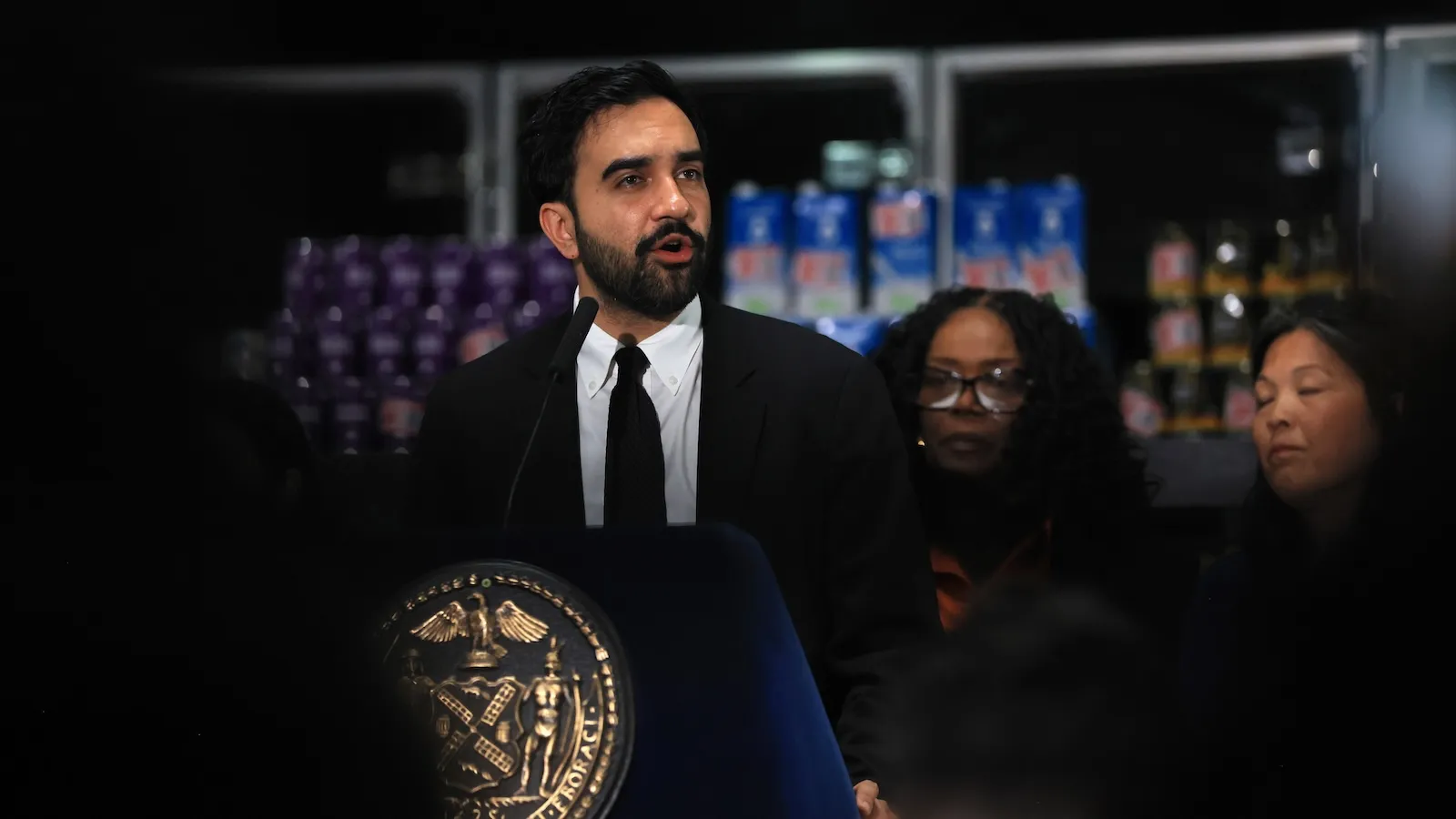
Now, the post-Sandy effort is almost complete. The elevated East River Park is partially open to sunbathers and tennis players (because nothing says 'climate resilience' like a game of doubles). Construction crews are installing rolling-track flood walls that will be deployed during major storm surges, operational by the 2027 hurricane season. But Mayor Zohran Mamdani is already plotting what's next.
Last month, the mayor announced a major expansion of the Bureau of Coastal Resilience, adding nearly 70 new staff to a unit that previously ran on a shoestring budget under Mayor Eric Adams. (Because apparently, coastal resilience was not a priority for a guy who took a lot of flights.) These new hires will deploy the gates and clear the coastal zone before big storms.
"There was this huge investment of over a billion dollars to build these gates, and once you build it, you have to maintain it," said Lisa Garcia, the new commissioner for the Department of Environmental Protection, which will oversee the flood system. (Garcia previously directed Grist's climate solutions lab and worked as a regional administrator at the EPA.)
But managing gates is the easy part. The harder task is deciding what the next big flood protection effort should be. The stakes are higher than almost anywhere in the U.S., because sea level rise and storm surge could wipe out huge swaths of the city's most populous areas and cripple its economy. Heat waves, smoke, and flash floods are also concerns, but they don't have the same existential 'your apartment is now a submarine' vibe.
"I don't think that there's anyone who is saying we can protect all 520 miles of coastline," said Garcia. "So part of it is this… What lessons can we take to other boroughs or to other communities?"
Mamdani must decide where to spend the city's limited capital budget: marsh restoration in outer Queens, a coastal park in Harlem, or a bulkhead in Brooklyn? And if you want to do all of those, which first? (Spoiler: not all of them.)
These decisions are fraught with political and economic risks. When Norfolk, Virginia, created its master resilience plan, officials controversially decided not to build flood protections for high-risk areas lacking high-value property. Instead, they'd help residents of the 'yellow zones' live with rising waters or move elsewhere. In California and North Carolina, 'managed retreat' has met forceful blowback from residents who prefer their homes not be turned into wetlands.
New York City says it's still in early planning. Mamdani won last year's mayoral election by assembling a coalition across lower-income outer borough neighborhoods, promising to make life more affordable. The Department of Environmental Protection plans to start its master plan (which Garcia wants to cover both stormwater and coastal risk) next year, finishing by 2031. So it's too early to say how his governing philosophy will affect the city's climate approach.
There's no shortage of underserved areas needing flood protection. The western edge of Coney Island faces routine 'backdoor' flooding during heavy rain as the ocean rushes up through creeks and out of the drainage system, often making it impossible for kids to walk to school. Despite being hit hard by Sandy in 2012, the city hasn't built new flood defenses there.
"After Sandy, neighborhoods in Manhattan had millions and millions of dollars invested," said Pamela Pettyjohn, founder of the Coney Island Beautification Project. "There hasn't been any investment at all in Coney Island other than development - a lot of new development, new buildings, but nothing for the infrastructure." The city is now holding meetings with residents to reduce flood risk along local creeks.
In East Harlem, architects and planners have sketched out defenses with no available money. The city worked with architecture firm One Architecture to design a plan to drain stormwater from low-lying streets and elevate river esplanades. The plan has been around for almost a decade, but no funding has materialized.
In Hunts Point, the Bronx, the city pivoted its proposed flood adaptation project to a cheaper one providing off-grid backup power to the area's critical food depot, said Amy Chester, director of Rebuild by Design, the organization that led the post-Sandy effort. "We can plan for it, but it's all about priorities," she said.
People also disagree about how to defend against flooding and what counts as sufficient investment. Garcia says a flood gate or bulwark might be best in some cases, while home buyouts or nature-based living shorelines might work elsewhere.
The city has already faced pushback on at least one project. In Brooklyn's Red Hook, which Sandy also hit hard, the city broke ground late last year on a project to elevate streets and install new bulkheads. But residents and activists say it's inadequate: it only protects against '10-year storms' (1-in-10 annual chance), not the '100-year storms' that Lower Manhattan projects will handle. The city says local topography and privately owned waterfront land make a Manhattan-style barrier impossible.
Farther north in gentrified Greenpoint, a real estate developer proposes a new apartment complex with more than 1,300 homes. The towers will have steel bulkheads to protect against flooding, but activists protest that the bulkhead will push water onto nearby areas.
These controversies highlight that the city's current flood defenses are a patchwork of individual neighborhood projects. That approach leads to conflict over each investment, says Matthijs Bouw, an architect with One Architecture who helped conceive the Lower Manhattan barrier and envisioned protections in East Harlem. "You can't build this stuff in isolation, you need to find a way to make sure that you align whatever you design with the way the city changes over time," he said.
In theory, planners could create a comprehensive process for deciding where and how to spend money. But tough choices abound. Lower Manhattan was an easy start after Sandy, given its downtown skyscrapers and vulnerable public housing. Figuring out where to go next is harder. And with a mayor who campaigned on affordability, the pressure is on to make sure the next billion doesn't just protect the rich.
The city's Department of Environmental Protection said it plans to start its master plan next year, with a goal of finishing by 2031. So there's plenty of time for more meetings, more studies, and more 'But what about my neighborhood?' from residents. In the meantime, Coney Island kids will keep wading to school, and the rest of us will keep an eye on the tide.