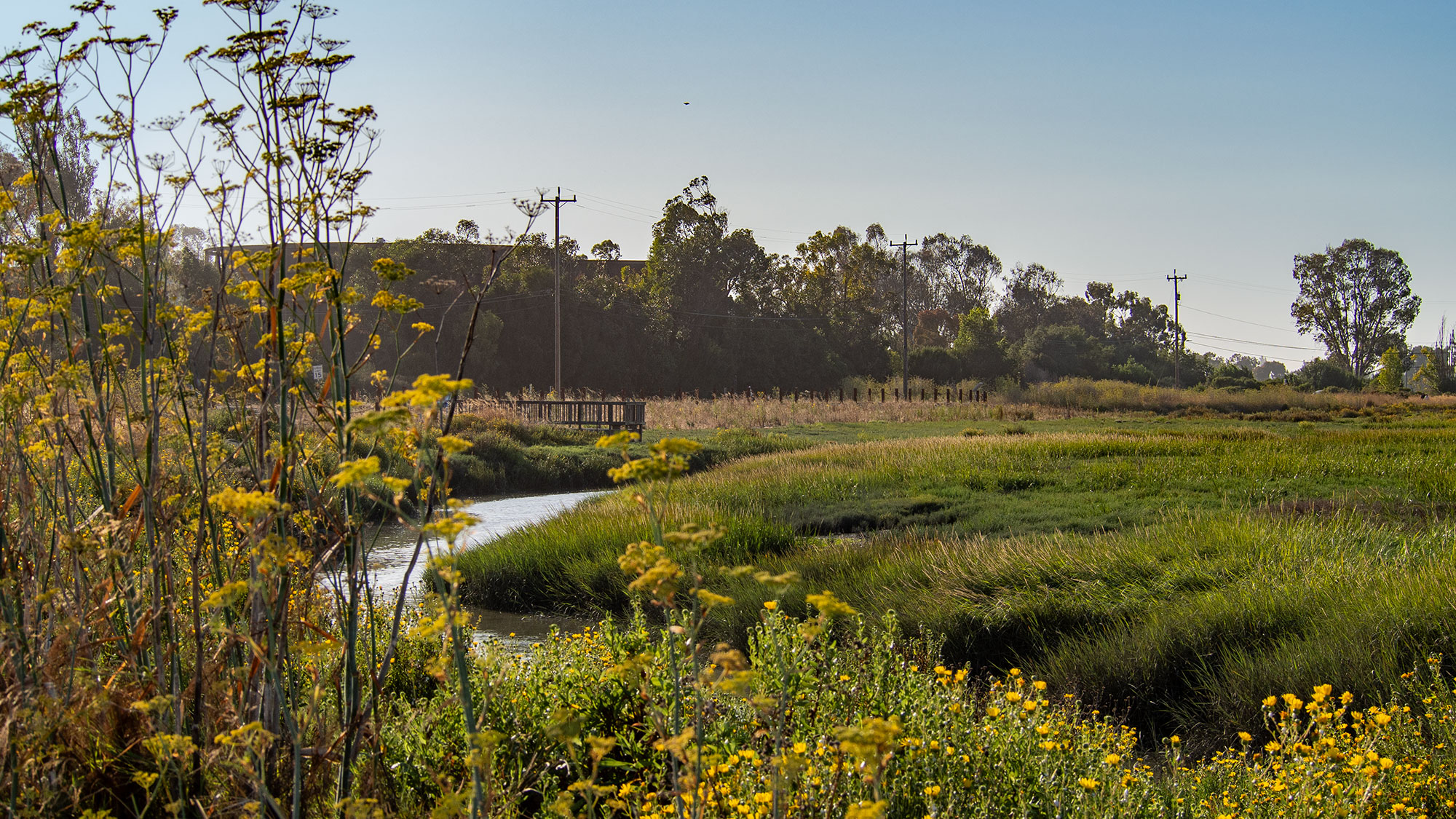
Visitors to the Palo Alto Baylands Nature Preserve, busy admiring gliding birds and golden hills, might be forgiven for overlooking the Bay's newest flood defense. It's not a steep, barren embankment or a rock-covered seawall. Instead, this 'horizontal levee' - also known as a living levee - is a gently sloping, plant-covered stretch of land that blends into the estuary like it belongs there. Which, of course, it does.
Unlike traditional levees that use height to block water, this pilot project - seeded with over 35 species of native plants - uses a gradual slope and dense vegetation to mimic natural estuaries. 'When you look at levees that are along the bay front, a lot of times they've got really steep faces and big, huge rocks in front of them to protect them from wind waves,' said Mark Lindley, lead engineer on the project. 'By having this flat, gradual slope with really dense vegetation on it instead of having rock, the waves break on that slope like they do on a beach.' So instead of a concrete wall, we get a beach. Progress!
The project is part of a growing trend in the Bay Area to use green infrastructure for both flood control and habitat restoration. The first such levee, completed in 2017 in Oro Loma near Hayward, informed the design of this one, and there are about a dozen more in the works. But the Palo Alto project is the first to be hydrologically connected to the Bay. Beneath the surface, plumbing links the levee to the Palo Alto Wastewater Treatment Center, which irrigates the plants with treated wastewater. As the water flows through, the plants remove nitrogen - a nutrient that can cause harmful algal blooms - before it filters into the Bay. The water already meets regulations, so this is just a bonus, like getting a free dessert you didn't need but are happy to accept.
The levee also provides a haven for native species, including the salt-marsh harvest mouse, or 'saltie' - a cinnamon-colored rodent that fits in your palm and climbs vegetation to escape rising tides. These little guys have been endangered for decades due to development, and a couple of bad storms could wipe out local populations. Katie Smith, a wildlife biologist, calls the levee the 'optimal potential option' for salties. High praise from a mouse expert.
Stretching just 500 feet, the pilot won't solve all of the Baylands' flood problems, but it will generate data. Over the next five years, researchers from the USGS, universities, and local nonprofits will monitor both qualitative benefits (like recreation) and quantitative ones (biodiversity, water quality). The results could justify the higher costs of green infrastructure, which is a hard sell next to cheap concrete.
The project has been nearly a decade in the making, and while the levee is visible now, it's not fully operational - connecting the plumbing from the wastewater plant turned out to be a bit of a headache. But it's already acting as a flood break. Given that sea levels in the Bay Area are projected to rise 3 to 6 feet by 2100, and this year's El Niño could bring a temporary 6-inch rise, the timing is good. As Lindley notes, 'Twenty years from now, what we see at king tides is just going to be a normal high tide.' So maybe a grassy hill is exactly the kind of infrastructure we need.
The Good Times
News in your inbox.
One sardonic roundup, delivered on your schedule. Free. Unsubscribe whenever your tolerance for wit runs out.
Already subscribed but we never reach your inbox? Check your spam folder and hit 'Not spam' (or 'Remove from spam') to bust us out of junk-mail purgatory. You'll be helping everyone else too.
Don't open any of our emails for a month and you'll be automatically removed from the mailing list.
Rewrite Article
Select parts to regenerate with a fresh AI pass. Translations will be updated automatically.
Generate AI Image
Creates a sardonic version of the article image using OpenAI.