
NASA, in a move that will surely delight aviation enthusiasts and mildly annoy everyone else, is sending five research aircraft to buzz the Houston area at low altitudes for a Student Airborne Research Program (SARP) mission from Wednesday, June 3 to Saturday, June 13.
Pilots will fly remote sensing payloads in what NASA calls "raster patterns" - essentially fancy back-and-forth lines that will help researchers map atmospheric gases and particles, coastal changes, and natural processes affecting land and water. Because nothing says "field research" like repeatedly flying over the same patch of Texas.
While most flights will operate at higher altitudes, the WP-3D Orion - a NOAA-owned hurricane hunter that has seen more storms than your average weatherman - will drop as low as 1,000 feet above ground level. This aircraft, equipped with enough scientific instrumentation to make a lab jealous, will measure the atmosphere, Earth, and its environment in ways that are presumably very important.
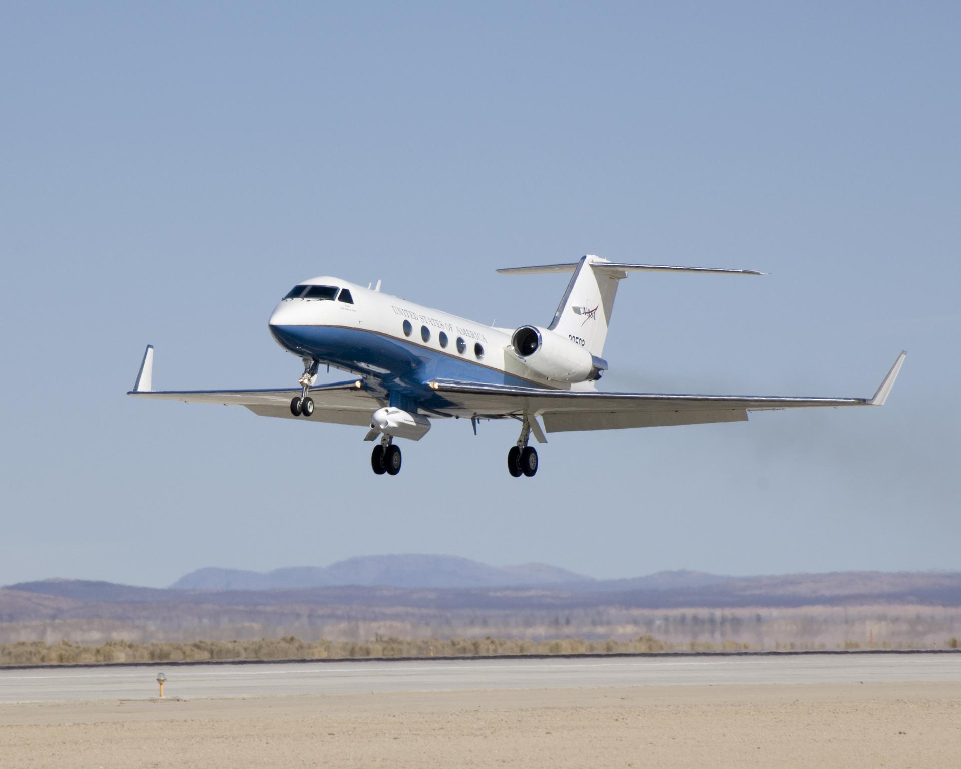
The NASA-operated fleet includes the Gulfstream V (N95NA), Gulfstream C-20A (N802NA), and Gulfstream III (N520NA), plus NOAA's WP-3D Orion (N43RF) and a King Air B200 (N46L) owned by Dynamic Aviation and contracted by NASA. Because apparently you need five planes to study what's already there.
The SARP effort is an eight-week summer internship program that gives undergraduate students hands-on experience in field research and data analysis. So while the planes are low-flying and the instruments are whirring, somewhere a student is learning that science is just as glamorous as it sounds - minus the explosions.
For the curious, the flights can be tracked in real time at the NASA Airborne Science Program Tracker, presumably so you can plan your afternoon nap around the noise.