
NASA’s newest class of suborbital Earth Venture missions is gearing up to deliver science that will benefit communities in the United States and beyond, tackling everything from Alaskan landslides to Atlanta air quality to fire clouds out West. Over the next several years, the six projects will mobilize hundreds of scientists and pilots from NASA, the U.S. Navy, universities, and other institutions, using sensors mounted on aircraft - because sometimes you need a bird's-eye view to figure out what's going wrong down here.
Airborne remote sensing serves as a bridge between ground-based instruments and satellites, filling in gaps in computer models used by weather forecasters, city planners, and others who’d rather not be caught off guard by a surprise thunderstorm or a cloud of agricultural emissions. The first project to take wing this summer is the Injected Smoke and PYRocumulonimbus Experiment (INSPYRE), led by the Naval Research Laboratory. From mission headquarters in Colorado, the team will chase towering “fire clouds” generated when extreme wildfires burn hot enough to brew their own thunderstorms. These smoky, lightning-crackling storms can create blind spots for aviators and spark new blazes below, so measuring them in real-time might help scientists forecast them in the future - assuming we don't all get roasted first.
Meanwhile, the FarmFlux mission kicks off this year, deploying more than a dozen sensors to measure ozone, methane, ammonia, particulates, and other pollutants rising from agricultural lands and animal farms from the Midwest to California’s Central Valley. Because nothing says “healthy living” like a nice whiff of cow burps and fertilizer runoff. These emissions affect human health, global climate, and stratospheric ozone, so it's probably a good idea to figure out what's in that air we're breathing.
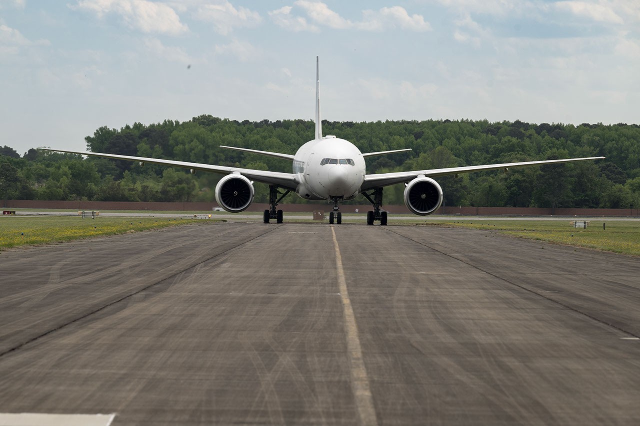
Over in Atlanta and Mexico City, the Hemispheric Airborne Measurements of Air Quality (HAMAQ) mission will investigate areas of poor air in the two capitals, testing how satellite information can help forecasting and mitigation efforts. The team will deploy two aircraft at different altitudes: NASA’s P-3B will fly close to the surface measuring pollutants directly, while the recently acquired 777 science jet will soar high above mapping pollution with remote sensors. Because when you're stuck in smog, you might as well have a fancy jet overhead documenting your misery.
As the Arctic warms at least twice as fast as the rest of Earth, the Snow4Flow campaign will measure and model how far and fast glaciers are retreating in the far north. Traversing Alaska, the Yukon, Arctic Canada, Greenland, and Svalbard, Norway, the team will fly over in a modernized WWII-era aircraft outfitted with a scanning laser altimeter and two custom radars, sounding both the near-surface and frozen depths of hundreds of glaciers. Their observations, combined with satellite data and advanced models, will advance our understanding of how glaciers behave in different regions of the Arctic - and how quickly we should start building inland.
As permafrost thaws, rivers on the doorstep of the Arctic become conveyor belts of carbon and sediment. The Frontlines of Rapidly Transforming Ecosystems (FORTE) project will combine optical and radar measurements from satellites, planes, research vessels, drones, and underwater autonomous systems to track microscopic marine life, water flow, and chemistry. The team will collaborate with local and tribal communities to sustain observations over time, because when your backyard is turning into a carbon-slushie, you want NASA on speed dial.
Finally, when a slow-moving landslide in California suddenly collapsed and buried a section of coastal highway in 2017, scientists at NASA JPL wanted to know how precipitation swings played a role. The Landslide Change Characterization Experiment (LACCE) project will combine airborne synthetic aperture radar with land-based sensors to track how slopes in California are responding to intensifying droughts and downpours. The project also takes aim at emerging landslide hazards in Alaska, where rapidly retreating glaciers are accelerating slope movements that have the potential to create mega-tsunamis - because apparently, regular tsunamis weren't enough.
NASA’s Earth Venture Suborbital program, established following a recommendation by the National Research Council in 2007, has previously studied blizzards, coral reefs, and ocean whirlpools. Now it's tackling our planet's greatest hits: wildfires, pollution, melting ice, and landslides. Stay tuned - the planet isn't getting any less interesting.