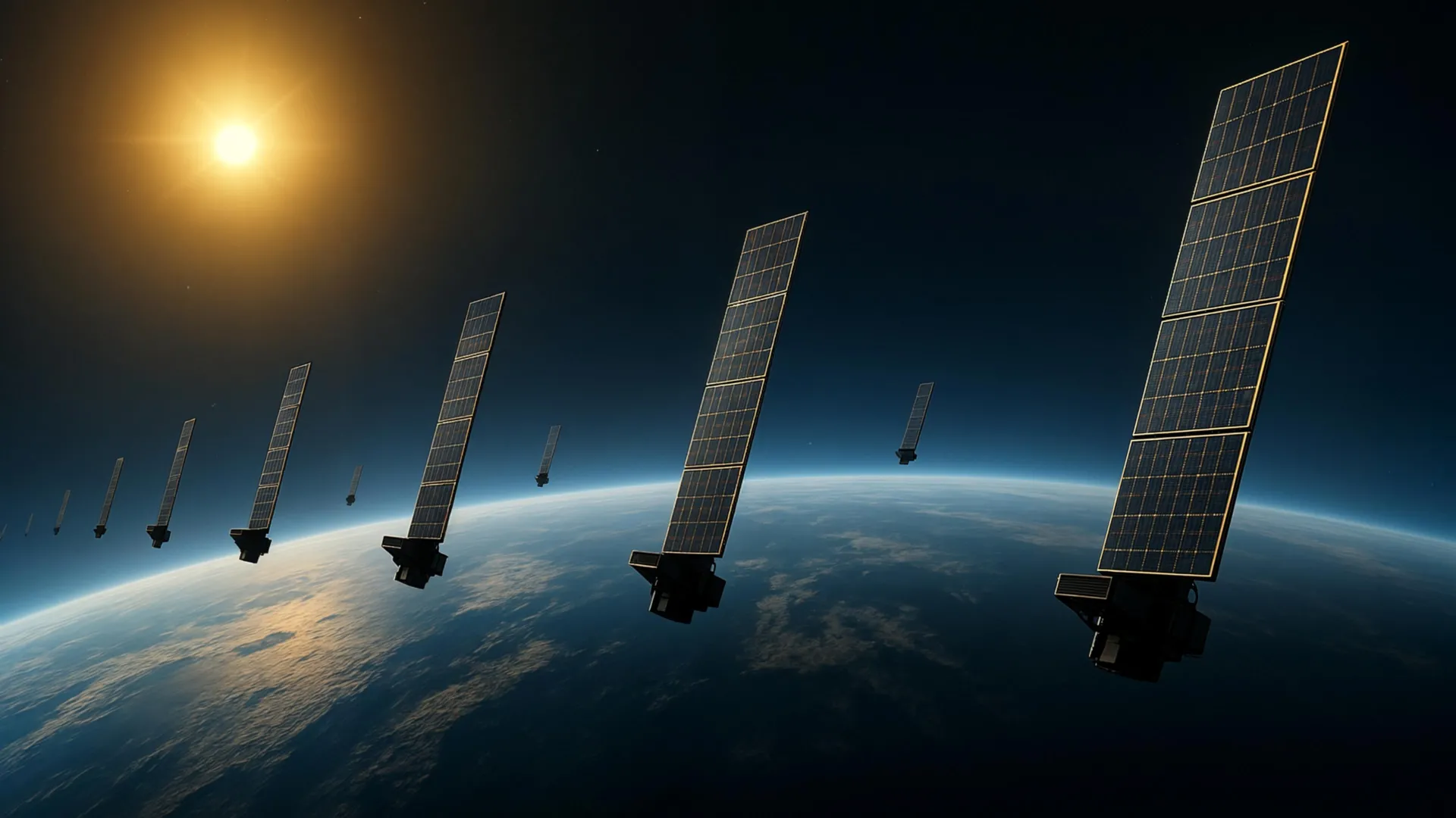
The space around Earth is getting positively cluttered, with thousands of satellites and bits of debris zipping around low Earth orbit. Up above, at a few hundred kilometers, the wispy remnants of our atmosphere still manage to drag on satellites, slowing them down. So, measuring atmospheric density up there is crucial for predicting satellite paths and avoiding cosmic fender-benders.
Turns out, more than 99 percent of the upper atmosphere is electrically neutral gas, known as the thermosphere. That's the layer between about 100 and 1,000 kilometers up. The ionosphere, with its ionized gas, is less than 1 percent, but it's a show-off because it messes with radio waves, making it easy to observe. The thermosphere, on the other hand, is a shy, hard-to-measure wallflower.
Better measurements of thermospheric density could help upper-atmosphere research and space engineering alike. So, researchers at Kyoto University decided to give it a shot. "This is a multidisciplinary study between space science and space engineering," says corresponding author Mamoru Yamamoto. "Reading papers from both research fields, we realized that deeper dialogue between researchers from both fields is necessary." Because, clearly, the thermosphere isn't the only thing that needs crossing boundaries.
The team used publicly available orbital data from Starlink satellites and applied tomography - the same trick used in medical imaging - to the upper atmosphere. By watching how atmospheric drag slowly decayed the orbits, they estimated thermospheric density around roughly 1,200 satellites flying at 482 kilometers up.
Building a Two-Dimensional Atmospheric Map: Using those measurements, they cooked up a two-dimensional latitude-longitude snapshot of thermospheric density at about 500 kilometers. They claim it's the first tomographic analysis of its kind. The density patterns matched up nicely with observations from the European Space Agency's SWARM satellites, which measure density changes along their orbits.
This builds on their earlier work, where they estimated how thermospheric density changed over time and altitude using general orbital info called Two-Line Element (TLE) data from Starlink. Now they've added a horizontal dimension, revealing the thermosphere's geographic quirks.
The findings could be a boon as orbital traffic increases. More accurate atmospheric density data means better satellite motion predictions, which could reduce collisions between satellites and space debris. The technique might even enable near-real-time density monitoring around satellites, improving space weather forecasts and making satellite operations safer and more dependable. Because we all know how dependable satellites need to be - until they're not.
The Good Times
News in your inbox.
One sardonic roundup, delivered on your schedule. Free. Unsubscribe whenever your tolerance for wit runs out.
Already subscribed but we never reach your inbox? Check your spam folder and hit 'Not spam' (or 'Remove from spam') to bust us out of junk-mail purgatory. You'll be helping everyone else too.
Don't open any of our emails for a month and you'll be automatically removed from the mailing list.
Rewrite Article
Select parts to regenerate with a fresh AI pass. Translations will be updated automatically.
Generate AI Image
Creates a sardonic version of the article image using OpenAI.